The Chideock Parish Map

CHIDEOCK PARISH MAP
The production of the Chideock Map was a labour of love, but entailed a great deal of hard work. First mooted in July 1988 by the Chideock Protection Society, it was put together by a team of volunteers headed by Kate Geraghty, Madeline de la Mere, Gill Decent, Ceri and Margot Fisher and also including Pat, Philip, Cis, Hazel, Elizabeth and Clarice. The map itself was drawn and painted by Gillian Moores, a resident of Morcombelake. She originally held the copyright but it was later formally handed over to Kate Geraghty.
The Chideock Map Project was part of the Parish Map Project which was a nationwide initiative organised by Common Ground and designed not only to conserve information but also to bring villagers together. In 1980 Common Ground stated the following - "The Parish Map Project is a way of sharing knowledge, ideas and feelings about the places where we live, whether or not they have been officially recognised as being of 'importance'." In the end, around 2000 different maps were made all over the country.
Kate herself certainly saw this project as a way of bringing villagers together. An article in the Glasgow Herald Oct 9th 1991 quotes Kate as saying "There is still in Chideock, and I think this is true of most villages in Dorset, Devon and Somerset, a real division between the people who were born and brought up in the village - and the newer residents". By the time the map had been printed and displayed, she felt that there was a greater sense of unity among Chideock residents and that much had been learned and conserved regarding the history of the village. "Through the process of collecting information, all those taking part share a sense of place."
The aim in producing the map was to make a record of those features both natural and manmade which were felt to be of interest and value to old and new residents alike. Several village meetings were held, asking people to bring along photos and information about the history of the village and to share ideas about the form the map should take. Some of the information offered was new and surprising. For example a sword was found embedded in the wall of the barn in Hell Farmhouse which had been there since the 1770s.
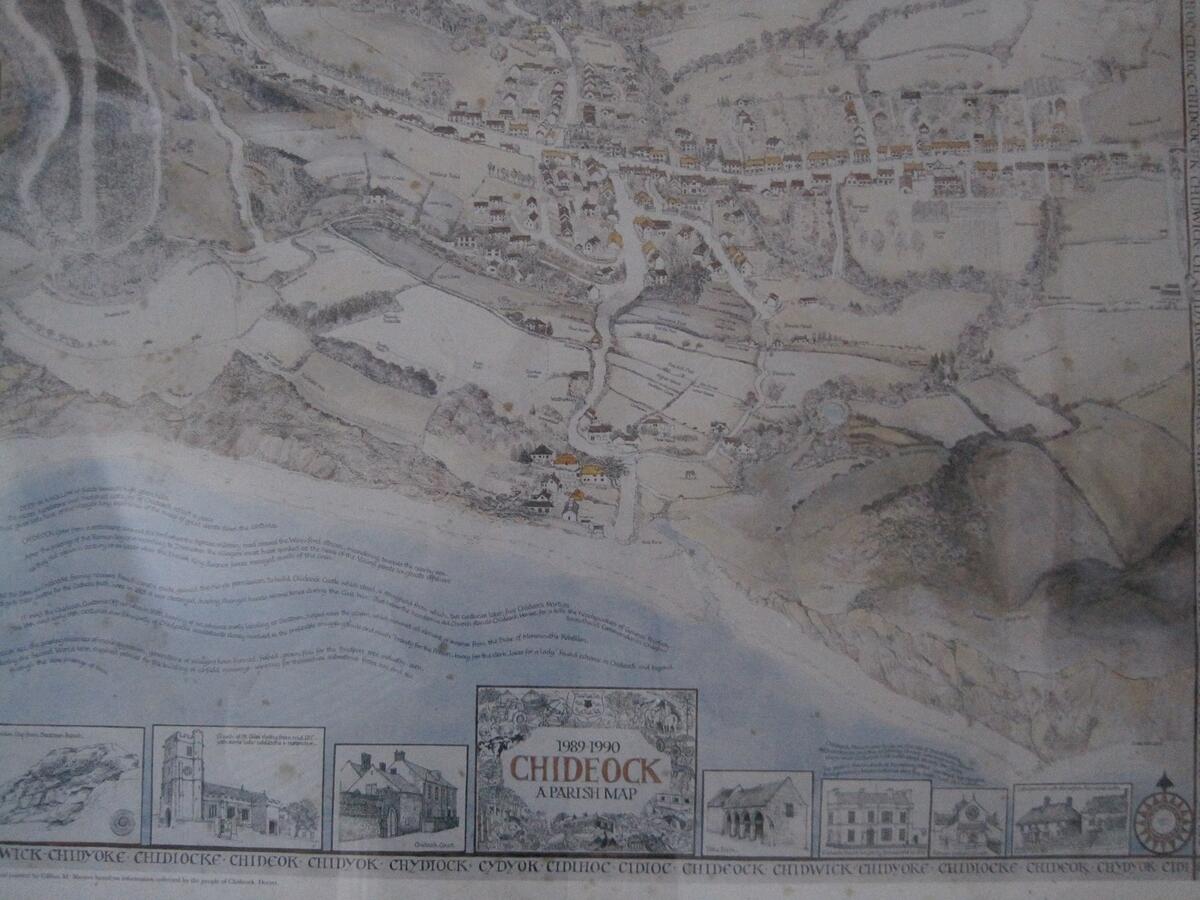
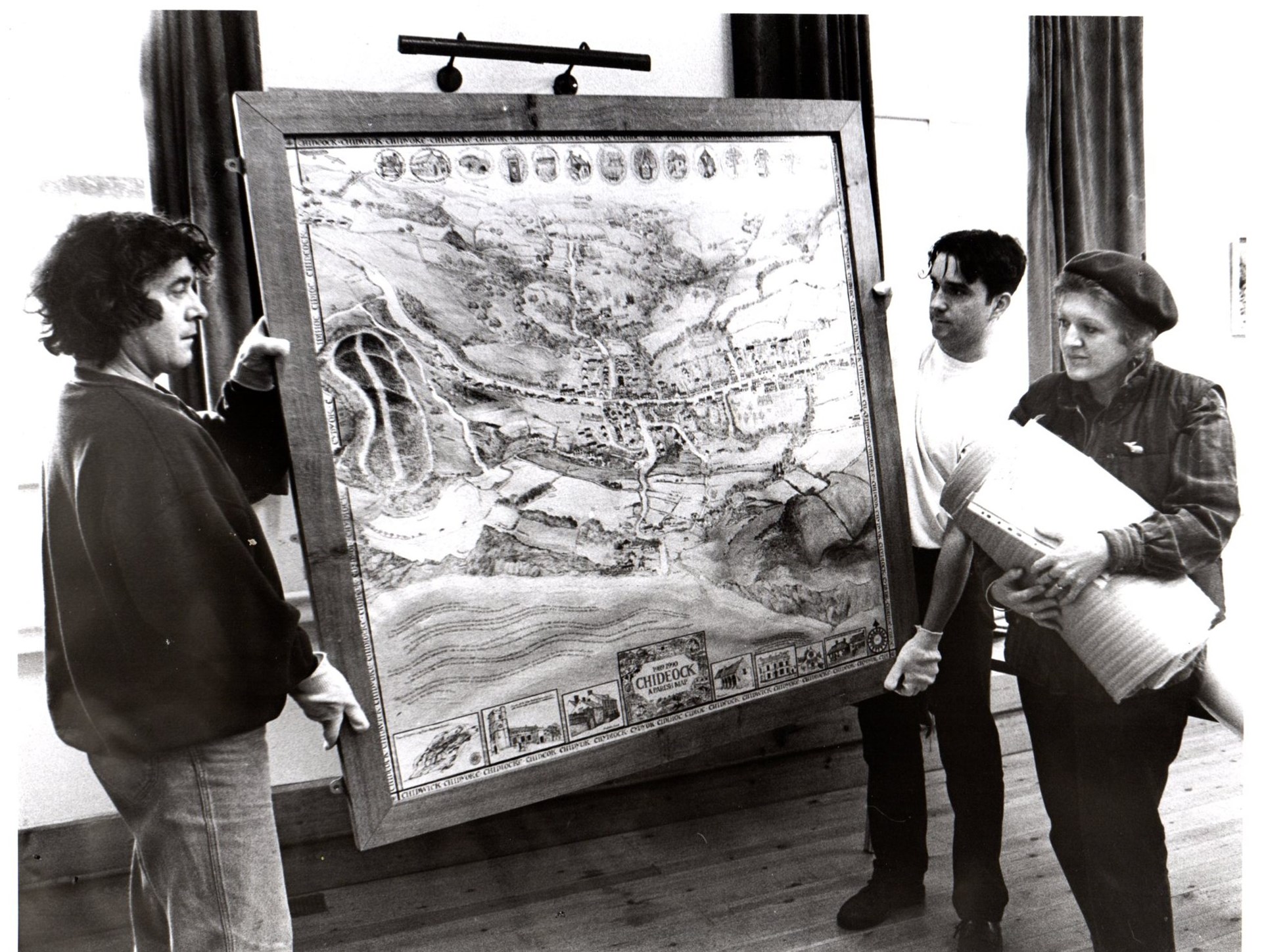
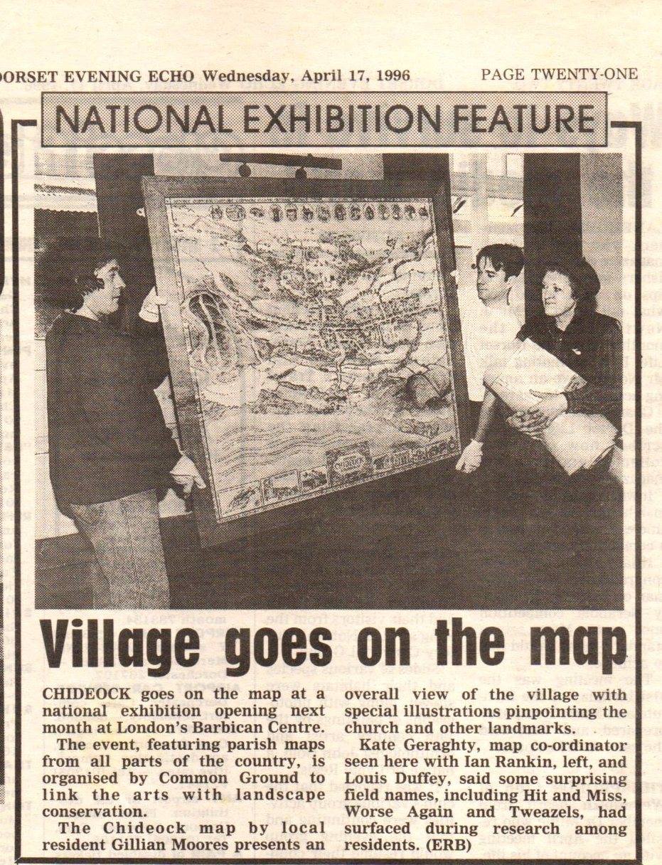
Once all the information had been collated and the design decided on, the map came into being. The original was four feet square, and framed in wood from the Chideock Manor estate. It shows in great detail the dwellings, communal buildings, fields and woods with names where appropriate. Around the edge of the map there are all the old spellings of Chideock, and small inset drawings of some of the more interesting things - the whalebone gateway, the pump in Ruins Lane, the packhorse bridge and the carters' barn. And there is a brief history of the village too. So much information in a small space. The original now hangs in the Village Hall. Many Chideock residents have a copy, as do people from all over the country because our map was very well received. It was displayed as part of the Barbican Parish Maps Exhibition in London between 14 May and 30 June 1996, and was also exhibited in Bath, Taunton and three locations in Cornwall. Journalist Harry Reid described it as "an artefact of quite extraordinary originality and beauty".
Frances Colville
May 2019

